
Is the Peace, Tranquillity and Beauty of Shoebury Common under Threat from the Council's Proposals? |
|||||
The Council's Preferred Option entitled "Set back defence along the length of the frontage"
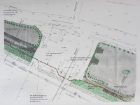
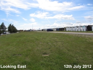
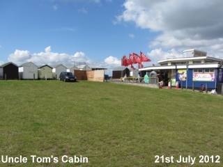
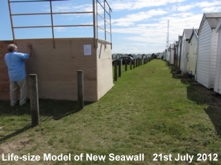
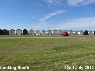
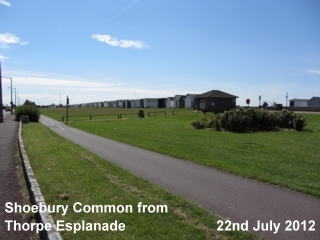
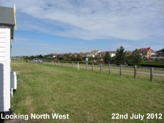
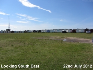
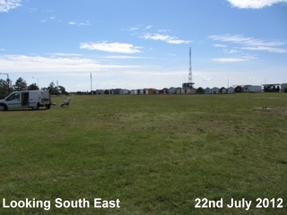
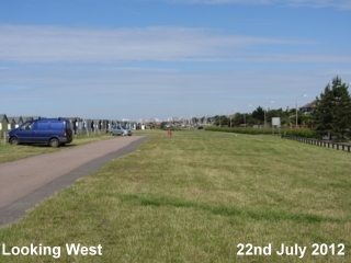
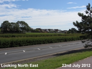
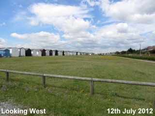
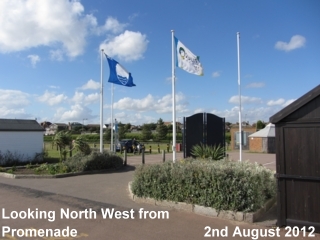
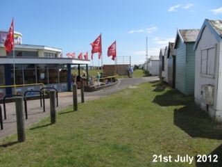
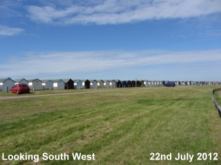
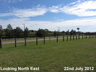
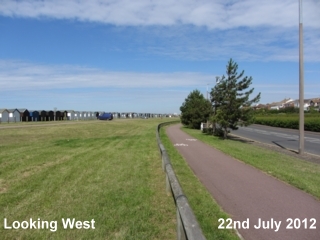
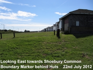
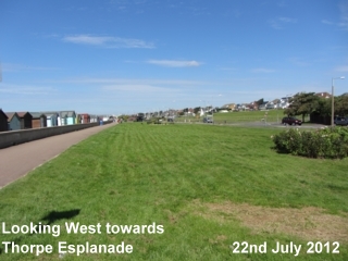
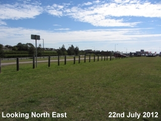
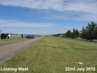
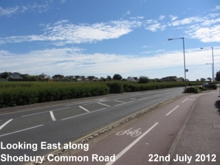
Southend on Sea Borough Council proposes to erect a new seawall of up to 2.24 metres in height, topped by metre-high railings, behind the beach huts that line the promenade at South Shoebury Common. Included in the scheme are 9 floodgates, up to 7.5 metres in width and some nearly 2 metres in height. The sheet piled core supporting the wall will penetrate to a depth of some 5 metres into clay. At a Full Council Meeting on Wednesday, 12th December 2013, Option A, the Council's preferred option, was approved. The Council directed officers to go ahead and make application to Environment Agency for funding, also to draw up formal plans. This decision was made by the Tory-led Council despite overwhelming opposition to the scheme from local people. Figures produced by the Council show that the estimated cost over a 30 year period for this, the Council's preferred option amounts to £15,275,371. This figure is in the region of £2 million pounds more than the estimated costs for the Council's Alternative Options, B and C. Options B and C would utilise the already higher ground to the rear of Shoebury Common North. At the same Council Meeting, Councillors voted to close Old People's Homes and Libraries in a cost-cutting exercise. In its preferred option for flood defence at Shoebury Common, as well as the 2.24 metre high seawall, the Council proposes raising the level of the Common itself with an embankment sloping down from just below the top height of the new seawall to the cycle track. The soil it will be using is that excavated in the course of stabilising a cliff slippage at Westcliff-on-Sea. At this site in Westcliff, the Council is planning to build a new museum on 7 levels set into those Cliffs. That museum complex has been estimated to cost in the region of £49 million (Echo newspapers, 25th February 2011). The soil is at present being stored temporarily in nearby Old Gunners' Park. In proposals drawn up and submitted to the Environment Agency for approval in August 2012, the scheme was described in the following way. The whole new seawall would extend along the seafront from around the junction with St Augustine's Avenue, Thorpe Bay, to Ness Road Shoeburyness, about 1km in length. From its beginning, the height would gradually increase to its maximum on South Shoebury Common. Alongside Thorpe Esplanade, the wall would be sited adjacent to the cycle track, on the landward side of the promenade, and would be constructed of brick-clad, reinforced concrete. There would be 5 flood gates giving access from the road to the promenade. On South Shoebury Common, the wall would be set behind the beach huts that stand on the Common, leaving a gap for emergency access. The wall would be of steel sheet piling, with brick cladding and a guardrail on top. The whole area between the wall and the road would be built up to form an embankment from the soil excavated from the Cliffs' project. Up to Uncle Tom's Cabin, there would be 3 pedestrian access points to the Promenade, by steps and ramps The area around Uncle Tom's Cabin would not be raised, but the wall would continue with 2 floodgates for access to the Promenade. There would be ramps for cars to drive up to enter the carparks behind the huts. From Uncle Tom's Cabin to the eastern end of the Common, the ground level would be similarly raised to form an embankment behind the new seawall. Huts at the extreme eastern end of the Common, alongside the road, that have previously overlooked the Common would have their view completely obliterated by the new embankment. The new seawall would continue between huts to the road that leads to the slipway. Here there would be 3 floodgates for boat, vehicle and pedestrian access. From there the new seawall would link up with the existing seawall in Gunners' Park. The Council has had to make alterations to the proposals it put forward in 2012 and include the provision of better access for the disabled. The whole appearance of South Shoebury Common will be dramatically changed. With the combination of wall, railings and floodgates, an attractive area will be transformed into something that can only be described as ressembling a prison camp. However, more worrying than that, as the alterations will be irreversible, they could prove potentially damaging to the town itself. The floodplain of Shoebury Common with its sandy soil has saved the Town from flooding in the past. Floodwater has collected in the natural basin of the Common to drain away there and not invade people's homes. One asks why the Council is so focussed on its preferred option. The Council is eager to find a permanent place to dump the soil that has been excavated from the Cliffs’ project. Even on the stormiest days, only the merest splash of seawater comes over the existing seawall which was raised in height after the 1953 floods. However, since 1953, more houses and businesses have been built on lower ground and these are at risk. The Council's own report reveals that Garrison Developments LLP are offering £970,000 towards the scheme dependent on planning consent for a development they are proposing for the Old Gunners' Park. Here, in this area of some 9.62 hectares, the new development will include between 170 and 180, 2-4 bedroomed houses and some commercial / light industrial units. Any system of food defence is a major step. The Council's preferred option could have far-reaching effects. The Council has rejected other schemes of sea defence that would give the same level of protection but be far less damaging to the natural environment and characteristics of this unspoilt and popular area. The majority of people who have expressed their opinion, including those living in the flood risk zone, are opposed to the Council’s preferred option. We feel the Council has failed to seriously engage with the people of the area in a fair and impartial way about alternative schemes. Instead it has every intention of pressing ahead with a decision it has made regardless of public opinion. We are requesting the Secretary of State hold a Public Enquiry to examine how the Council's decision was reached and the consider the alternative systems of sea defence that could be adopted here.
|